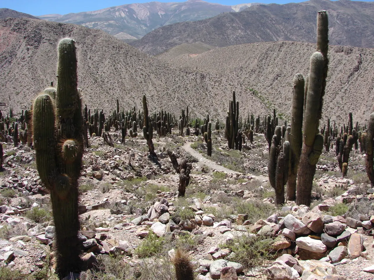
Ascent from Cactus to Cloudsummit
===============================================================================
The Cactus to Clouds trail, one of the world's hardest day hikes, is a thrilling adventure that ascends from the Coachella Valley desert to the summit of San Jacinto Peak. Located behind the Palm Springs Art Museum, the trailhead for this challenging hike is at 101 N Museum Dr, Palm Springs, CA, 92262, USA.
Preparation for the Cactus to Clouds hike includes a series of hikes, such as Mt Baldy on the Bear Canyon Trail, San Bernardino Peak Hike, San Gorgonio Hike, and Mt Whitney. However, the hike itself starts in downtown Palm Springs and climbs over 10,000 feet to the summit of Mt San Jacinto, with a large stretch on the Skyline Trail.
The Skyline Trail, a portion of the hike until you reach Long Valley, is not an officially sanctioned trail but is recognized as a cross-country route with public access allowed. It's essential to note that this trail is entirely maintained by local hikers.
The hike features extremes of weather at both ends, with high temperatures often above 110°F in Palm Springs and alpine conditions, including snow, ice, and windchill, at the summit of San Jacinto. To ensure safety, it's recommended to start early in the day, preferably at dawn or shortly after, to avoid hiking during the hottest afternoon hours.
Heat stroke can occur when body temperature goes above 104°F, and temperatures in Palm Springs have gone into the 120Fs. Therefore, carrying ample water, sun protection, and proper planning is crucial to mitigate risks associated with the desert heat.
A spreadsheet has been created to help time out the hike and give a rough guide on how the temperature will be along the way. Trekking poles, layers for the upper slopes and summit area, a fully charged headlamp or extra batteries, energy gels, solid bars, electrolyte chews, and a bottle of Gatorade are essential gear for the hike.
Winter conditions can make the upper portion of the hike more of a mountaineering experience, with steep sections prone to falling ice and debris. In such conditions, it's advisable to have crampons and an ice axe for safety.
The first part of the Cactus to Clouds hike is on the Skyline Trail, which can be challenging to follow in the dark, so it's recommended to hike with a headlamp and have GPS options to cross-check your position. At the end of the hike, you will arrive at the upper tram station, called Mountain Station, which has food and drink available.
The optimal time to hike the Cactus to Clouds Trail, considering weather and safety, is typically from late fall to early spring (October to April). During this period, daytime temperatures are generally between 65°F (18°C) and 85°F (29°C), which are safer for hiking in the desert environment because summer temperatures often exceed 105°F (40°C) and pose serious heat-related risks.
For safety, hikers should plan their journey using important planning links such as the Palm Springs Weather, San Jacinto Mountain Forecast, San Jacinto Trail Report, Palm Springs Aerial Tramway, and the San Jacinto Mountain Forecast for weather updates and trail conditions.
Free street parking is available around the museum, but check the signs carefully before parking. The museum parking lot and garage across the street are usually unavailable for hikers. The last trams usually depart in the evening, and a one-way ticket back down from Mountain Station can be purchased at the gift shop using cash or credit.
In summary, the best and safest time to hike this trail is during the cooler months from October through April, with early morning starts recommended to avoid heat extremes. Summer hikes, especially in August, are not advisable due to extreme heat conditions. With proper preparation, the Cactus to Clouds hike offers an unforgettable experience for adventurous hikers.
[1] Palm Springs Desert Sun. (2021). Cactus to Clouds hike: Palm Springs' most dangerous trail. [online] Available at: https://www.desertsun.com/story/life/outdoors/2021/06/17/cactus-clouds-hike-palm-springs-most-dangerous-trail-san-jacinto-peak/7713621002/
[2] Backpacker. (2021). Cactus to Clouds Hike. [online] Available at: https://www.backpacker.com/trips/cactus-clouds-hike
- The Cactus to Clouds trail, known as one of the world's hardest day hikes, ascends from the Coachella Valley desert to the summit of San Jacinto Peak, offering an unforgettable adventure for adventurous hikers.
- The trailhead for this challenging hike is located behind the Palm Springs Art Museum, at 101 N Museum Dr, Palm Springs, CA, 92262, USA, and prepares for the hike include a series of treks such as Mt Baldy on the Bear Canyon Trail, San Bernardino Peak Hike, San Gorgonio Hike, and Mt Whitney.
- The Skyline Trail, a portion of the hike until you reach Long Valley, though not officially sanctioned, is recognized as a cross-country route with public access allowed and is entirely maintained by local hikers.
- To ensure safety on this extreme hike, it's recommended to start early in the day, preferably at dawn or shortly after, to avoid hiking during the hottest afternoon hours, as temperatures can reach dangerously high levels, potentially leading to heat stroke.
- A well-planned gear list for the hike includes a spreadsheet to help time out the hike, trekking poles, layers for the upper slopes and summit area, a fully charged headlamp or extra batteries, energy gels, solid bars, electrolyte chews, a bottle of Gatorade, and in winter conditions, crampons and an ice axe for safety.
- The hike features extremes of weather at both ends, with alpine conditions, including snow, ice, and windchill, at the summit of San Jacinto, making the upper portion of the hike more of a mountaineering experience in winter.
- The first part of the Cactus to Clouds hike is on the Skyline Trail, which can be challenging to follow in the dark, so it's recommended to hike with a headlamp and have GPS options to cross-check your position; at the end of the hike, you will arrive at the upper tram station, called Mountain Station, which has food and drink available for travelers.


